 (click photo for PDF flyer)
Description
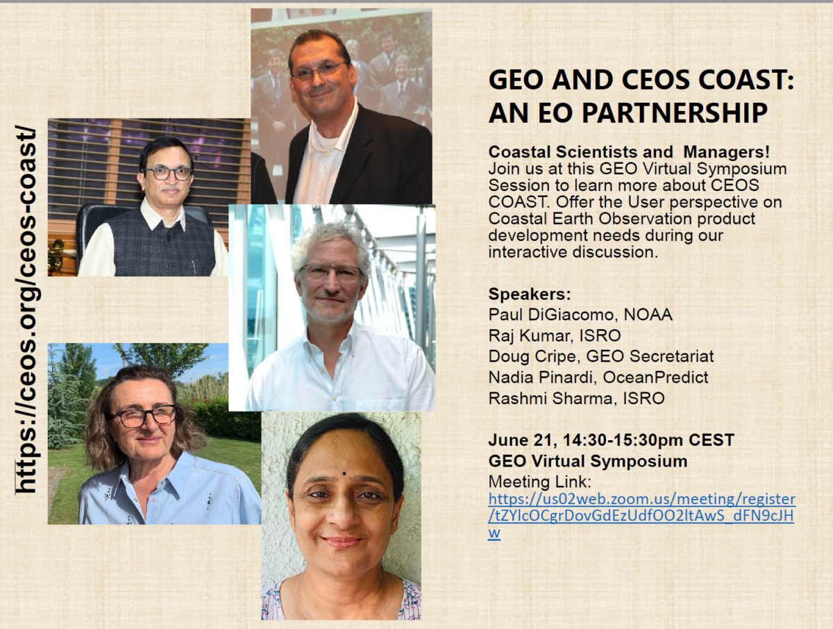
This session will be great opportunity learn about the new Committee on Earth Observation Satellites Coastal Ocean Applications, Services, and Tools (COAST) – recognized as a UN Ocean Decade Contribution. This presentation will be jointly presented with GEO and seeks to inform the community about the pilot projects directed at solving coastal problems in 4 thematic areas and 5 geographic regions. The two COAST Pilot Projects address Sea Impacts to Land from flooding and shoreline erosion; and Land Impacts to the Sea from delivery of sediment and nutrients to coasts. Earth Observation applications will be co-developed and co-designed to provide data for decision-making to identified geographic stakeholders.
The themes being tackled in the first 2 years are: Flooding and inundation, bathymetry/coastline mapping, coastal eutrophication, and turbidity/sedimentation. The geographic regions targeted in the first 2 years are: Bay of Bengal, the west coast of Africa, Chesapeake Bay, La Plata Estuary, and Pacific and Caribbean small island nations. Enhanced stakeholder benefits through CEOS COAST’s collaboration with the CoastPredict UN Ocean Decade Programme will be highlighted, followed by a Case Study for potential information capabilities in Bay of Bengal. We wish to identify, from among Symposia attendees, interested stakeholders and potential partners to sustain applications and to engage in a preliminary discussion of coastal issues and potential product development of mutual interest.
Moderator(s) and Speaker(s)

Paul
Digiacomo

Raj
Kumar

Douglas
Cripe

Nadia
Pinardi

Rashmi
Sharma
Programme
- COAST Overview: High level explanation of COAST’s mission and Phase 2 pilot goals (Raj Kumar)
- GEO Programme Activity Affinities & Capacity Building with COAST (Douglas Cripe)
- COAST Partnership with UN Decade’s CoastPredict Project (Nadia Pinardi)
- Case Study for Bay of Bengal (Rashmi Sharma)